There are eight Town maps positioned around the town at the following locations:
- two maps “back to back” on the Parade (by Trinity Landing);
- two maps “back to back” at the bottom of Market Hill;
- one map in Medina Road (by the Floating Bridge);
- one map outside the (old) Police Station in Birmingham Road (opposite “the Duke of York”);
- one map outside Hursts in Carvel Lane (close to the taxi rank outside M&S);
- one map behind in The Anchor in Cross Street (opposite Corrie’s Cabin and the Painter’s Arms).
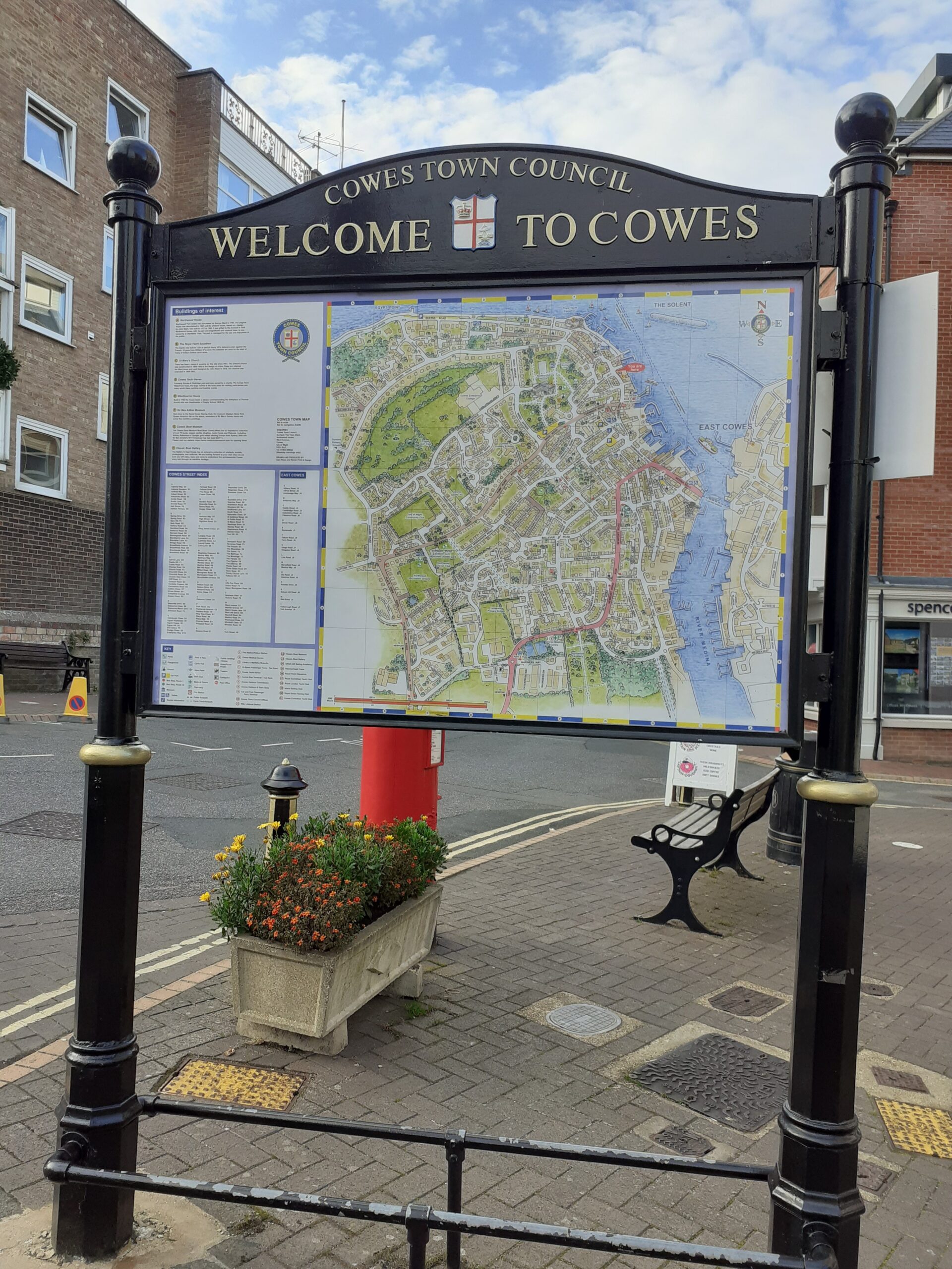
The Projects Committee updated the maps in 2020.
There are also 7 “Finger Posts” (direction signs) sited at various locations in the town, positioned to assist visitors.